

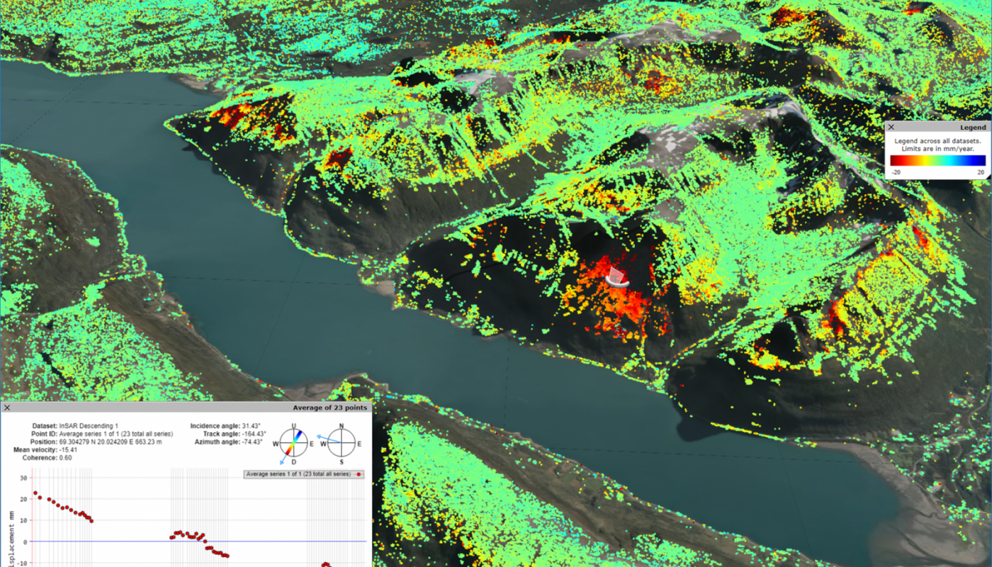
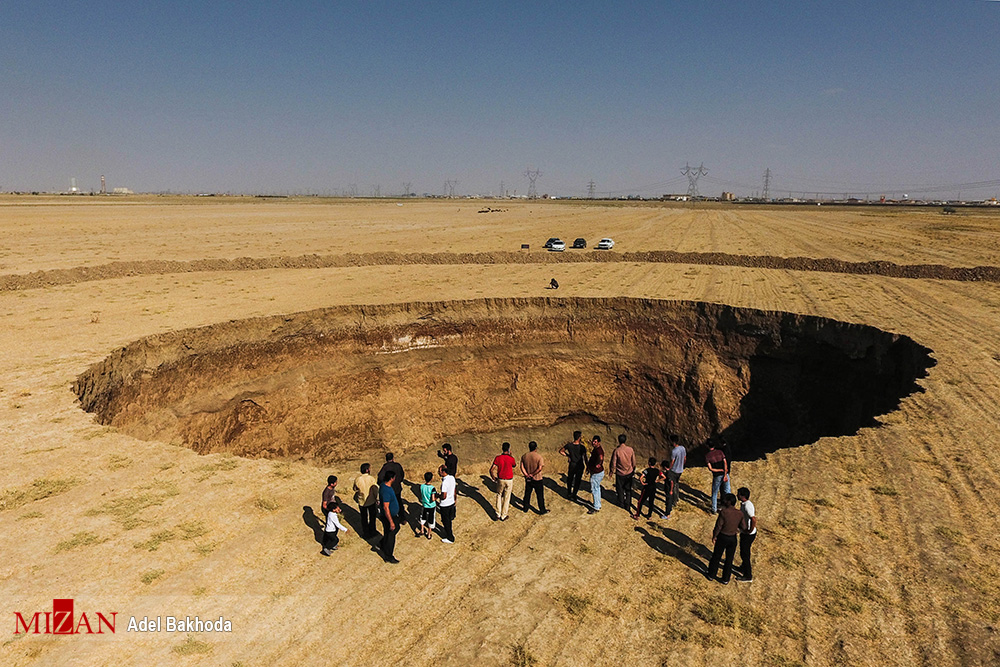
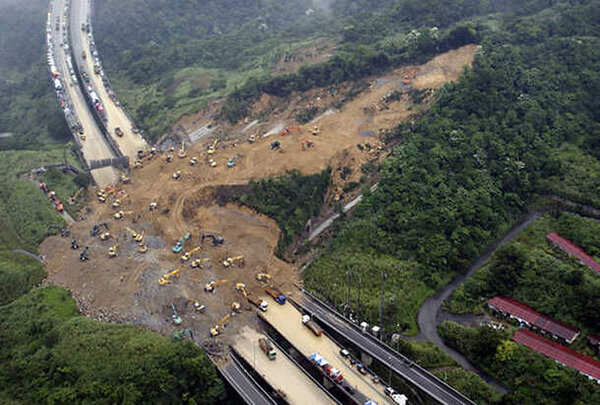
InSAR has led to many new insights into geophysical and geological processes of geohazards, including earthquakes, volcanoes, landslides, land subsidence and sinkholes, among others. It provide us with the opportunity to monitor the temporal evolution of geological phenomenon. Time-series analysis over large scale areas, helping to understand occurred events and prepare the future. Mapping water and flooding with SAR data is another main application fields of radar remote sensing. SAR data benefit from some advantages which make them useful in flood mapping:

+98 912 630 6610_+98 21 88339851

Iran, Tehran,Amirabad street, 14th Street,
Kiaie avenue, Farshad dead end,
No 13, first floor, Eastern unit

doorkavanerasad@gmail.com


